Located-Located in the continent of North America, Mexico covers 1,943,945 square kilometers of land and 20,430 square kilometers of water, making it the 14th largest nation in the world with a total area of 1,964,375 square kilometers.
Traveling- You can go by bus, train, car, boat, plane ,and by thumb.
Climate- Most climate in Mexico has sunny weather for a large part of the year. The cloudiest regions are the wetter parts of the east coast and the northern part of the Pacific coast, where low cloud and fog are formed over the cold ocean current. The drier regions of the interior and much of the tierra templada have high amounts of sunshine: as much as seven or eight hours a day in the drier months to five or six during the wetter season.
Landforms- Plateaus: The Central Mexican Plateaus consumes much of northern and central Mexico. It extends from the border with the USA on the north to the Cordillera Neovolcanica in the south, with the Sierra Madre Occidental mountain range on the west and the Sierra Madre Mountain Oriental on the east.
Money- Peso
Population- 21.1 million people

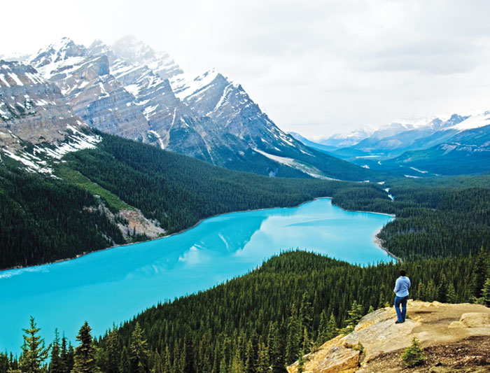
Lakes

|
Lake Chalco was an endorheic lake formerly located in the Valley of Mexico, and was important for Mesoamerican cultural development in central Mexico. The lake was named after the ancient city of Chalco on its former eastern shore.
|

|
Lake Bacalar is a long and narrow lake in the state of Quintana Roo, Mexico. It is approximately 42 km long measured from north to south, and less than 2 km at its widest. The lake is renowned for its striking blue color and water clarity, partly the result of having a white limestone bottom. Like most bodies of water in the Yucatán peninsula, the lake is fed by underground rivers or cenotes.
Lake Texcoco was a natural lake within the Anáhuac or Valley of Mexico. Lake Texcoco is most well known as where the Aztecs built the city of Tenochtitlan, which was located on an island within the lake. After the Spanish conquest of the Aztec Empire, efforts to control flooding by the Spanish led to most of the lake being drained. The entire lake basin is now almost completely occupied by Mexico City, the capital of the present-day nation of Mexico. |
Mountains

|
The Volcán de Colima, also known as Volcán de Fuego, is part of the Colima Volcanic Complex consisting of Volcán de Colima, Nevado de Colima and the eroded El Cantor. It is the youngest of the three and as 2015 is one of the most active volcanos in Mexico and in North America. It has erupted more than 40 times since 1576. One of the largest eruptions was on January 20–24, 1913. |

|
Cerro El Potosí is the highest mountain in the Sierra Madre Oriental mountain range of northeast Mexico. It is located in the state of Nuevo León, about 80 km south of Monterrey. It is composed of limestone, and is noted for its very diverse flora including several endemic or near-endemic species, such as the Potosi Pinyon. Access was very difficult in the past, but in the 1960s a microwave relay station was built on the summit, with the road built for this providing easy access from the east. |

|
The Pico de Orizaba sometimes known as Citlaltépetl, is a stratovolcano, the highest mountain in Mexico and the third highest in North America, after Denali of the United States and Mount Logan of Canada. It rises 5,636 metres (18,491 ft) above sea level in the eastern end of the Trans-Mexican Volcanic Belt, on the border between the states of Veracruz and Puebla. The volcano is currently dormant but not extinct, with the last eruption taking place during the 19th century. |
Rivers


|
The Lerma River is Mexico's second longest river. It is a 750 km-long river in west-central Mexico that begins in Mexican Plateau at an altitude over 3,000 metres above sea level, and ends where it empties into Lake Chapala Mexico's largest lake, near Guadalajara, Jalisco.The Sinaloa River is a river of Mexico. It runs across the state of Sinaloa from northeast to southwest, beginning in the Sierra Madre Occidental and emptying into the Gulf of California. |
